Drone Mapping
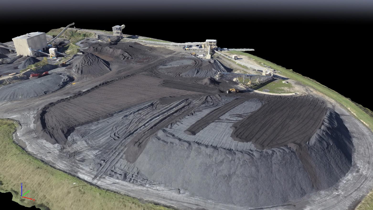
Companies are increasingly depending on drones in recent years. Drone legislation has made it possible for today’s larger businesses to implement these powerful tools into their operations. Drones can rapidly capture aerial data, to drive better decisions. Businesses are always on the look-out to improve inefficient processes. Drone mapping makes it possible to reduce costs by up to three times compared to traditional aircraft operations, or on-the-ground surveying techniques. Many construction projects finish late and over-budget. Drones can help project managers and site superintendents keep projects on schedule. Aerial photos, maps, and 3D models can dramatically improve workflow. By spending less than an hour each week mapping a job site, a project manager can gain access to an unprecedented amount of knowledge showing nearly every aspect of a project. Call for a custom quote.
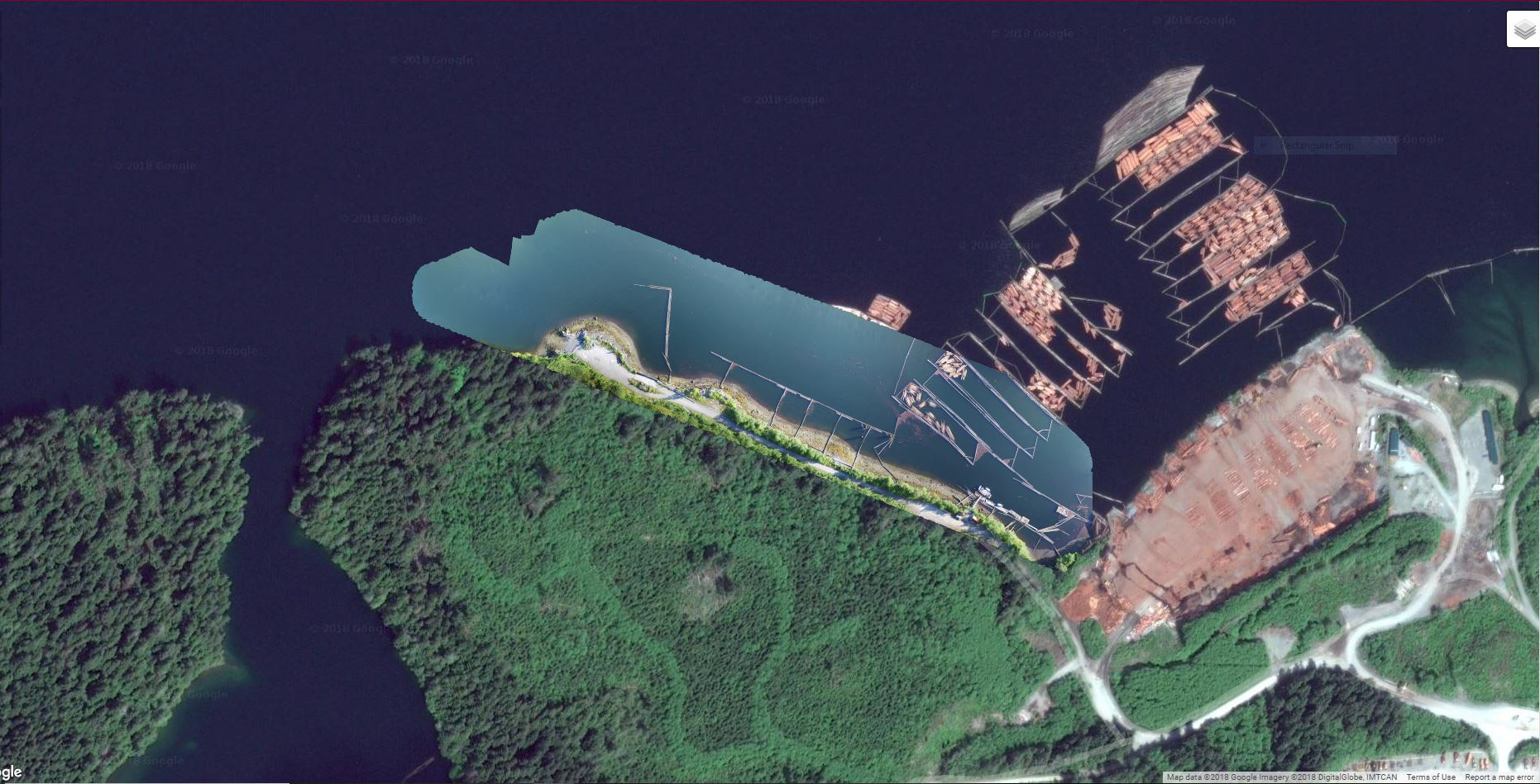
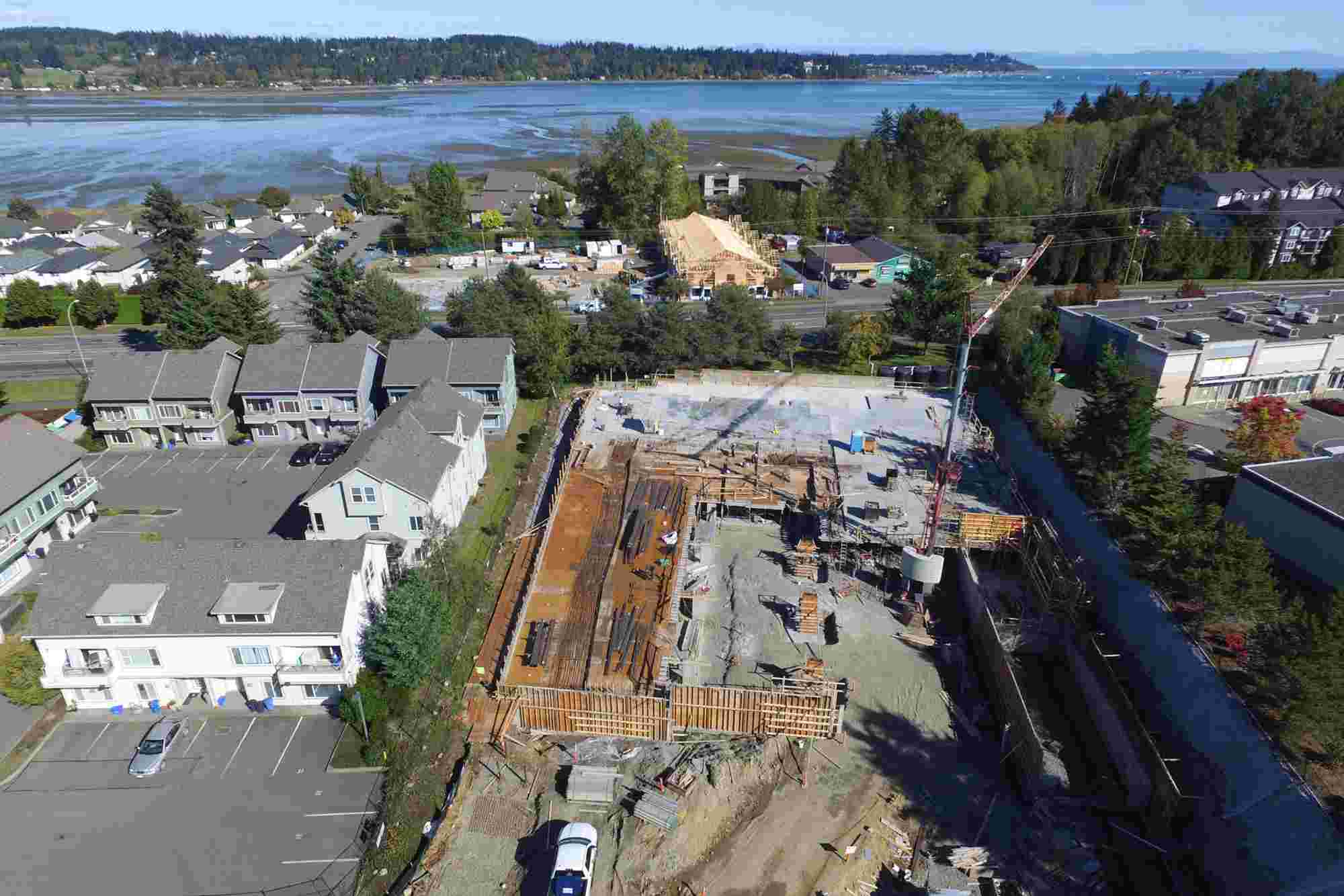
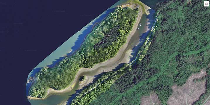
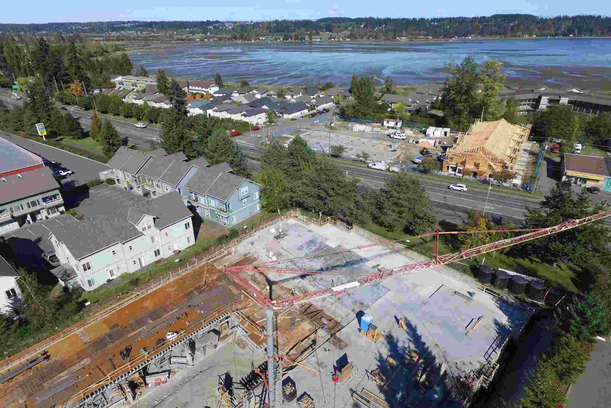
Gallery