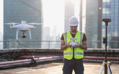
Drone Services
Transport Canada Certified
Services
Real Estate
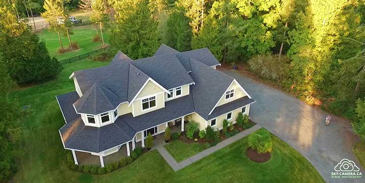
With drones, aerial photography and video is easily affordable, and really puts some punch into traditional real estate listings. Sky-Camera has been working with realtors for four years, and is growing every year.
Drone Mapping
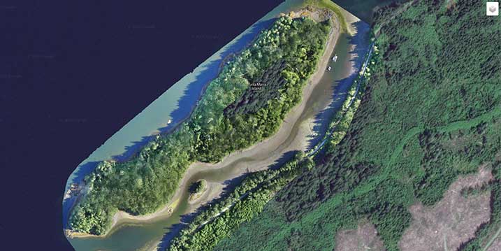
Drones can rapidly capture aerial data, to drive better decisions. Drone mapping makes it possible to reduce costs by up to three times compared to traditional aircraft operations, or other surveying techniques.
Featured Videos
About
My name is Tim Allix. I have had a lifelong fascination with aviation; my father was a world war two pilot, and he earned his pilot’s license again in the early 70’s. I spent many a happy hour flying around with my Dad in various Pipers and Cessnas. In 1999 I earned my own Glider Pilot’s License, and spent many hours flying the thermals and soaring the ridges around Pemberton, BC in a Blanick L-23 glider. I have also always loved flying RC model aircraft, and now I am able to take my experience and flying skills, combined with my interests in computers and photography to make a rewarding career for myself.
Blog
Beautiful Tofino and Ucluelet
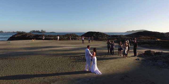
Tofino offers some exemplary opportunities for drone photography. With its rugged landscapes and beaches, this is aerial photography unmatched anywhere on Vancouver Island.
My Radio Interview!
After a recent mapping mission near Bamfield BC, I was invited to do an interview on our local radio station. Here is the interview in full:
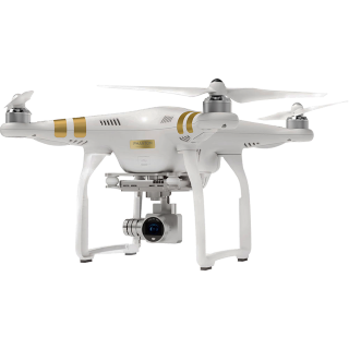
Review: DJI Phantom 4 RTK
What drone is going to be the future of mapping? Looks like it’s going to be the latest offering from DJI, the Phantom 4 RTK (Real Time Kinetic). Although it’s now a whopping $10,000 drone with the additional RTK platform, this is an all-in-one bird that precludes...

